

ZABAGED® - Polohopis
| Informace o produktu | ||
|---|---|---|
 | Název | ZABAGED® - Polohopis |
| Obchodní kód | 63311 | |
| Výdejní jednotka | stát | |
| Cena za jednotku | Bez poplatků | |
| Výdejní formáty | FGDB, GPKG | |
| Souřadnicové systémy | S-JTSK / Krovak East North, ETRS89 / UTM zone 33N (N-E) | |
| Distribuce | 


| |
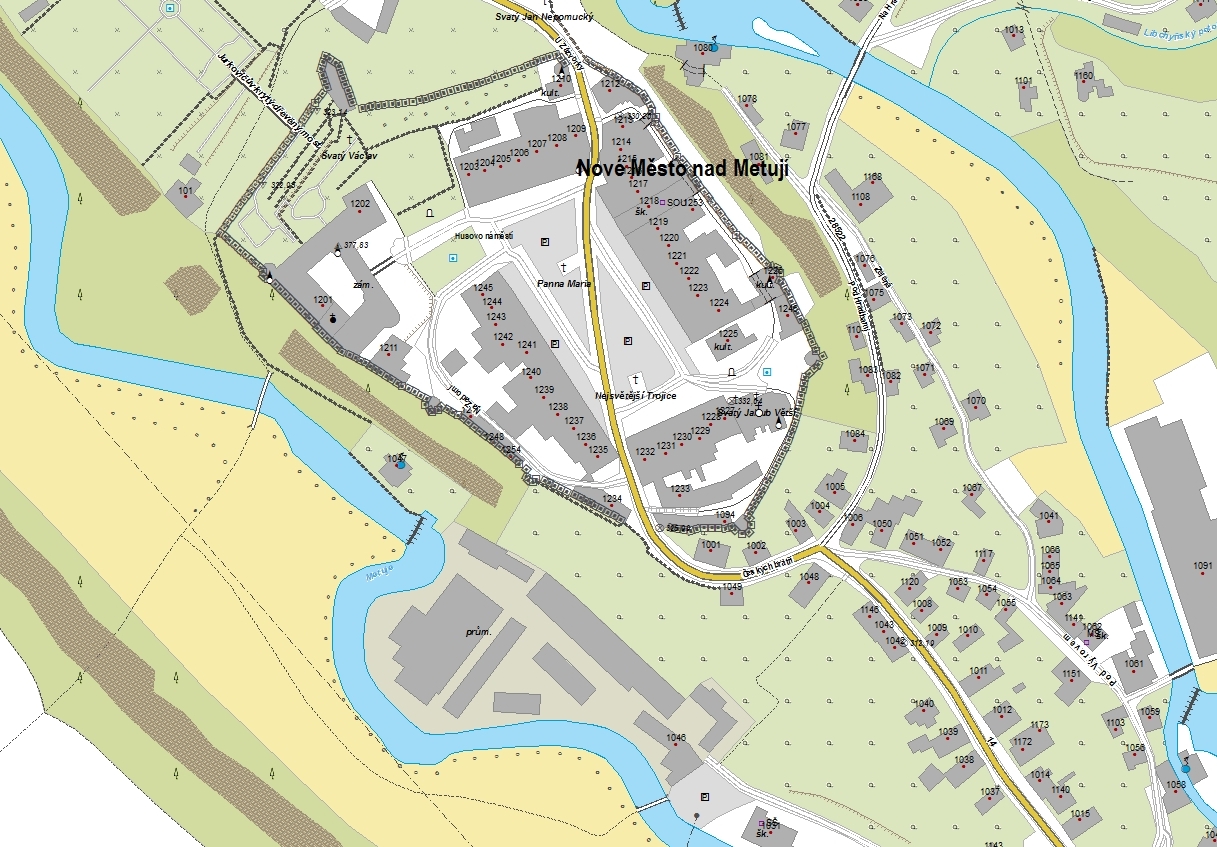
| Popis produktu | Základní báze geografických dat České republiky (ZABAGED®) je vektorový geografický digitální model území České republiky (ČR). Polohopisnou část ZABAGED® tvoří v současné době 141 typů geografických objektů sídel, komunikací, rozvodných sítí a produktovodů, vodstva, územních jednotek a chráněných území, vegetace a povrchu, terénního reliéfu a vybrané údaje o geodetických bodech. Objekty jsou reprezentovány dvourozměrnou vektorovou prostorovou složkou a popisnou složkou, obsahující kvalitativní a kvantitativní informace o objektech. | |
| Aktualizační cyklus - stav aktualizace | Celá datová série je aktualizována v pravidelném cyklu dvěma základními způsoby. Periodickým (plošným) způsobem aktualizace a průběžnou aktualizací vybraných objektů na základě aktuálních dat od tematických správců. Aktualizované verze jsou publikovány ve čtvrtletním intervalu. Stav průběžné aktualizace Stav plošné aktualizace | |
| Podmínky přístupu a použití | Bez poplatků Licence Creative Commons CC BY 4.0 Dle Vyhlášky č. 31/1995 Sb. | |
| Prohlížení dat |
Mapová aplikace Služba WMS Služba WMTS | |
| Stahování dat |
Služba Atom pro data ve formátu FGDB Služba Atom pro data ve formátu GPKG Export výřezu dat Stažení předpřipravených souborů - výběr nad mapou Služba WFS | |
| Kontakt - informace o produktu | Zeměměřický úřad, e-mail: ZU-obchod@cuzk.gov.cz | |
Poslední aktualizace produktu:
2025-07-03
2025-07-03
Poslední aktualizace/revize informací:
2025-07-03
2025-07-03
 RSS 2.0 Geoportál ČÚZK