

State map at a scale of 1:5 000 new form raster data
| Product information | ||
|---|---|---|
 | Name | State map at a scale of 1:5 000 new form raster data |
| Commercial code | 63126 | |
| Export unit | SM 5 map sheet (2,5x2 km) | |
| Unit price | According to Regulation No 645/2004 Sb. | |
| Export formats | TIFF(JTSK) | |
| Coordinate systems | S-JTSK / Krovak East North, WGS 84 / UTM zone 33N | |
| Distribution | 

| |
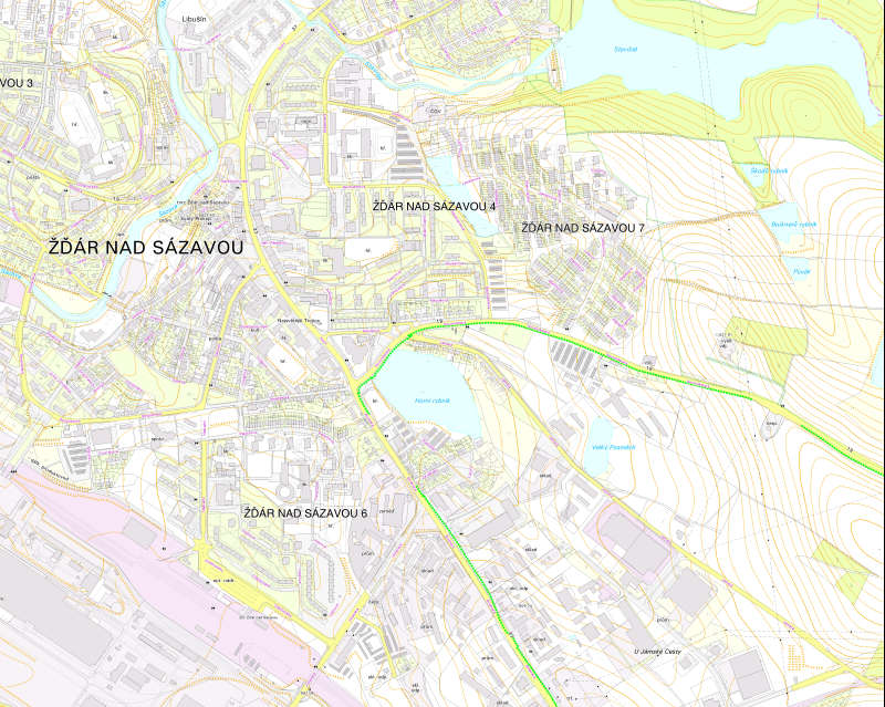
| Product description | The new form of the State Map on a scale of 1 : 5,000 (SM 5) was published as a product of the state map work until 2022, after which it was replaced by the product of the new edition of the state map work, the Basic Topographical Map 1 : 5,000 (ZTM 5). The map contains a topography based on a cadastral map, an altimetry taken from the altimetry section of ZABAGED and a description consisting of geographic names from the Geonames database and species designation abbreviations based on the attributes of selected types of ZABAGED objects. Map sheets are archived without out-of-frame data, in TIFF format, with the update status from the last map release in 2022. | |
| Update cycle - update state |
Update state | |
| Conditions applying to access and use | According to Regulation No 645/2004 Sb. | |
| View data |
Web map application | |
| Data download |
Download of a demo file
| |
| Contact - product information | Land Survey Office, e-mail: ZU-obchod@cuzk.cz | |

Product last update:
2021-11-26
2021-11-26
Information last update:
2023-10-12
2023-10-12
 RSS 2.0 Geoportal ČÚZK