

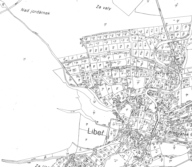
Katastrální mapa v rastrové podobě poskytovaná v e-shopu
| Informace o produktu | ||
|---|---|---|
 | Název | Katastrální mapa v rastrové podobě poskytovaná v e-shopu |
| Obchodní kód | 62250 | |
| Výdejní jednotka | mapový list | |
| Cena za jednotku | 150 CZK za výdejní jednotku. | |
| Výdejní formáty | ||
| Souřadnicové systémy | ETRS89-GRS80, S-JTSK / Krovak EN | |
| Distribuce | 

| |
| Popis produktu | Datová sada pro poskytování analogové formy katastrální mapy. Skenované katastrální mapy (rastrové soubory ve formátu CIT) se poskytují za úplatu. Analogová mapa pokrývá k 15. 04. 2024 1,05 % území České republiky, což je 826,84km2. Více katastrální zákon 256/2013 Sb., vyhláška o katastru nemovitostí č. 357/2013 Sb., vyhláška o poskytování údajů č. 358/2013 Sb. v platném znění. | |
| Aktualizační cyklus - stav aktualizace | Předpřipravené soubory jsou generovány jako exporty z databáze, která je aktualizována jednou měsíčně. | |
| Podmínky přístupu a použití | Dle Vyhlášky č. 358/2013 Sb. | |
| Prohlížení dat |
Mapová aplikace | |
| Stahování dat | ||
| Kontakt - informace o produktu | Český úřad zeměměřický a katastrální , tel: +420 284 044 455 , e-mail: cuzk.helpdesk@cuzk.cz | |
Poslední aktualizace produktu:
2024-04-19
2024-04-19
Poslední aktualizace informací:
2024-04-19
2024-04-19
Rozsah a podmínky poskytování údajů z katastru nemovitostí se řídí vyhláškou č. 162/2001 Sb. o poskytování údajů z katastru nemovitostí České republiky.
 RSS 2.0 Geoportál ČÚZK