

Digitalizace katastrální mapy (DG)
| Informace o produktu | ||
|---|---|---|
 | Název | Digitalizace katastrální mapy (DG) |
| Obchodní kód | Obchodní kód není stanoven | |
| Výdejní jednotka | stát | |
| Cena za jednotku | Bez poplatků | |
| Výdejní formáty | png | |
| Souřadnicové systémy | ETRS89, S-JTSK / Krovak East North | |
| Distribuce | 

| |
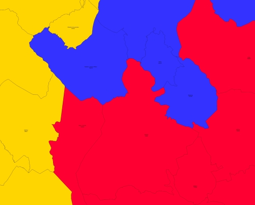
| Popis produktu | Katastrální mapa je průběžně digitalizována. Část území je pokryta digitální katastrální mapou vzniklou na základě nového mapování, na části území jsou katatrální mapy digitalizované z map bývalého pozemkového katastru, z dekadického nebo sáhového měřítka a na části území je analogová mapa. Data popisují současný stav digitalizace jednotlivých katastrálních území včetně plánu digitalizace katastrálních území. | |
| Aktualizační cyklus - stav aktualizace | Předpřipravené soubory jsou generovány jednou denně. | |
| Podmínky přístupu a použití | Podmínky poskytování prostorových dat ČÚZK Licence CC BY 4.0 Veřejný přístup není omezován a je poskytován v souladu s vyhláškou č. 359/2011 Sb., o registru územní identifikace, adres a nemovitostí a zákonem 123/1998 Sb., o právu na informace o životním prostředí. | |
| Prohlížení dat |
Služba WMS Mapová aplikace | |
| Stahování dat | ||
| Kontakt - informace o produktu | Český úřad zeměměřický a katastrální, e-mail: cuzk.helpdesk@cuzk.cz | |
Poslední aktualizace produktu:
2024-04-12
2024-04-12
Poslední aktualizace/revize informací:
2024-04-12
2024-04-12
 RSS 2.0 Geoportál ČÚZK