

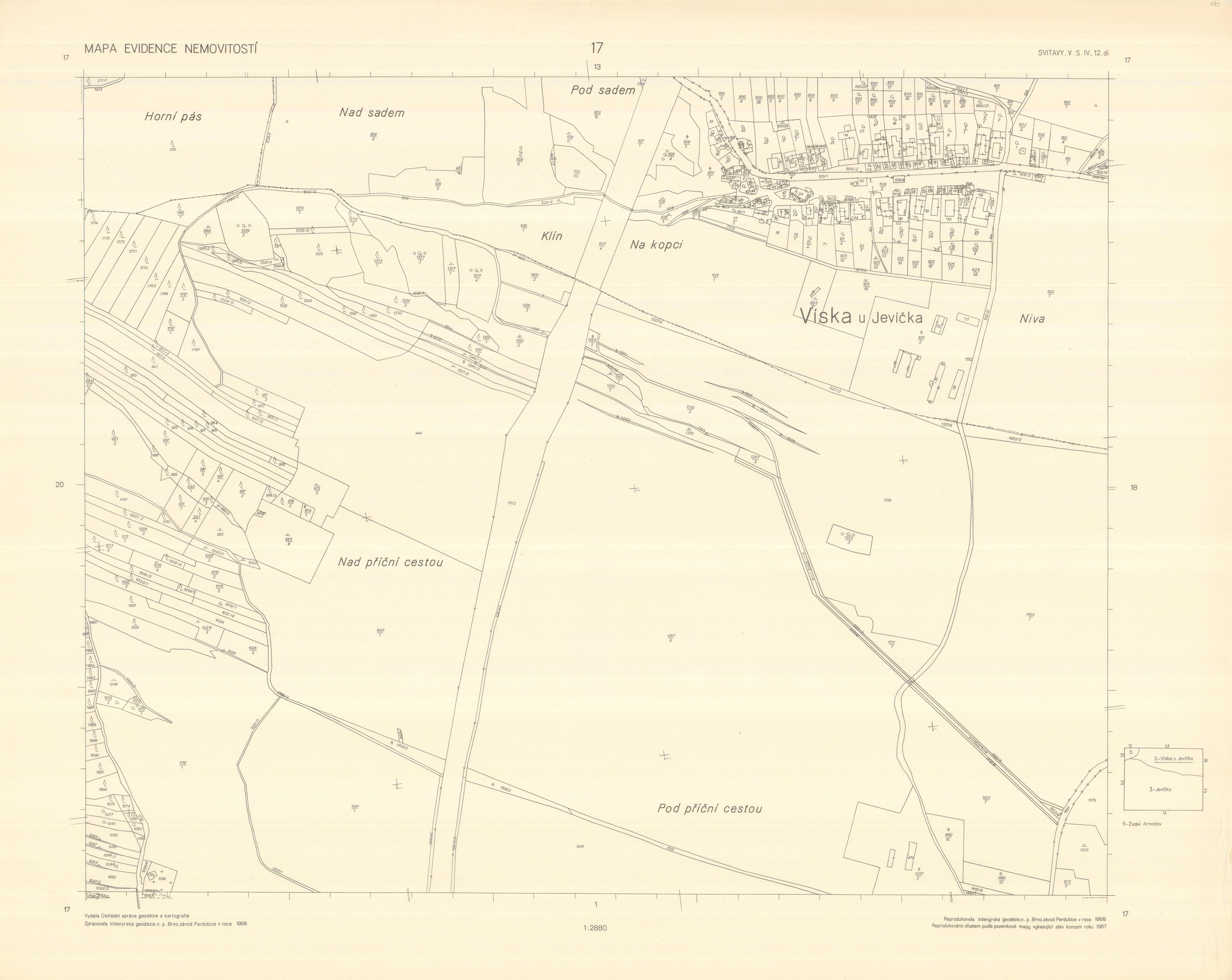
Maps of the Registry of Real Estates 1 : 2 880 - Moravia and Silesia
| Product information | ||
|---|---|---|
 | Name | Maps of the Registry of Real Estates 1 : 2 880 - Moravia and Silesia |
| Commercial code | 638182 | |
| Export unit | map sheet of Map of the Registry Of Real Estates 1 : 2 880 | |
| Unit price | According to Regulation No 645/2004 Sb. | |
| Export formats | JPEG | |
| Coordinate systems | St. Stephen (Ferro) | |
| Distribution | 

| |
| Product description | Maps of Real Estate Registry 1:2880 from 60´s and 80´s of the 20th century. In contrast with former cadastral maps these maps are not created as a map of selected area (the plan was ended on the cadastral units borders) but the content covers the whole map sheet regardless of cadastral units borders. | |
| Update cycle - update state | After scanning of the whole data series the update is further terminated; it is an archival document that is not a subject of update. | |
| Conditions applying to access and use | According to Regulation No 645/2004 Sb. | |
| View data |
Web map application | |
| Data download |
Download of a demo file
| |
| Contact - product information | Land Survey Office, e-mail: ZU-obchod@cuzk.cz | |

Product last update:
2016-11-30
2016-11-30
Information last update:
2023-06-30
2023-06-30
 RSS 2.0 Geoportal ČÚZK